Rasterized dwgs for Thesis Project using Google Earth Image
oleh varshneyTanmaya
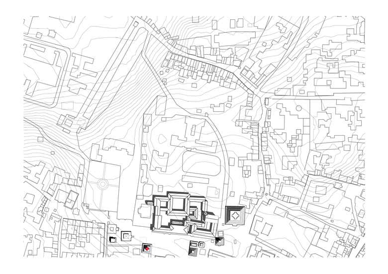
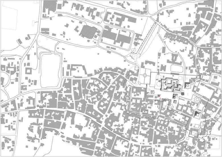
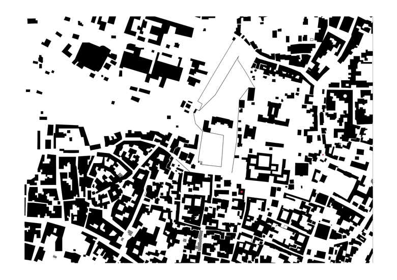
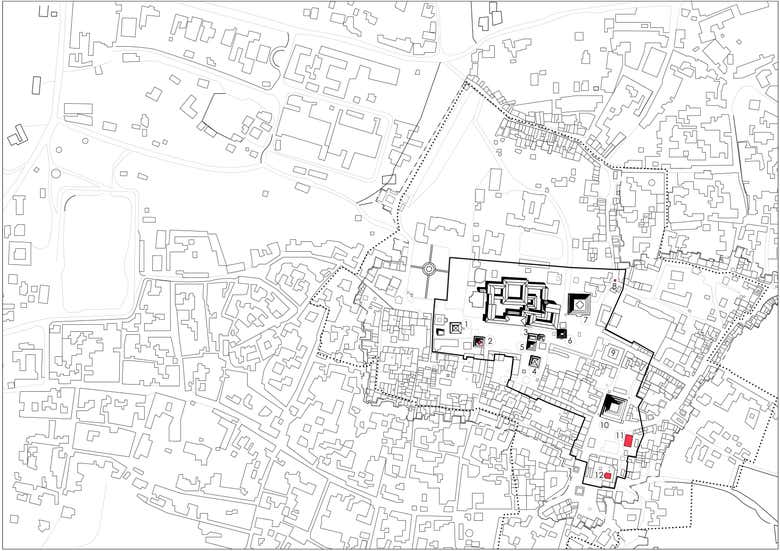
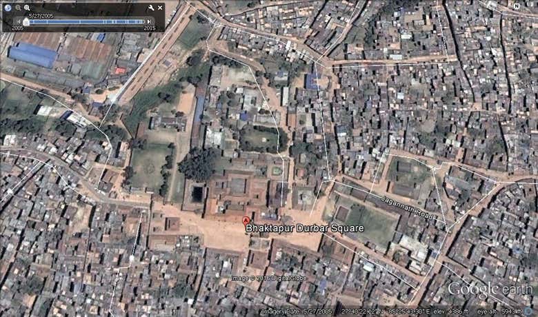
This ad files are Rastared for a Thesis Project using the image given below contours are made using google sketchup

Tentang Saya
I am an architect and interior designer offering over 4 years of experience on both client and site experience. I have advanced skills in AutoCAD, Photoshop, Rhino, Grasshopper, Sketchup with vray, 3d rendering to name a few. I have completed a Bachelor of Architecture Degree. Please do not hesitate to contact me to discuss your project in detail and determine how my skills will positively contribute to your team.
$10 USD/jam
PEKERJA BEBAS BARU